|
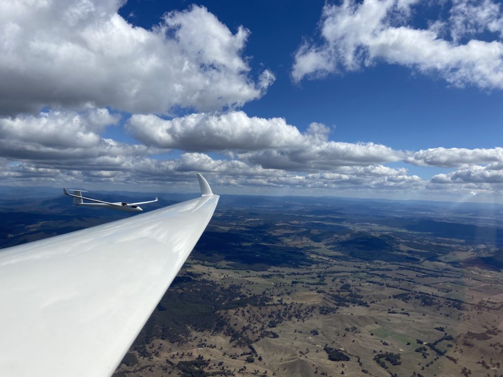
Already recognised for its excellent soaring conditions on an international level, Benalla’s location is ideal for thermal soaring. Wide open plains to the north and west (elevations generally below 1,000ft or 300m) and 10,000ft (3,300m) days in the hot summer season provide opportunities for big distances over these very safe areas. The surrounding area is criss-crossed with an extensive network of roads serving open farmland with huge paddocks (fields) so those occasional outlandings and road retrieves are an easy and safe occurrence.
To the east and south the mountains of the Great Divide give exhilarating flying with strong thermal and wave conditions starting only 25km away. The base of controlled airspace is generally 12,500′ (3,800m) to unlimited with some 8,500′ (2,600m) to the NorthEast at Albury (100km away). This large scale Google Map shows our flying area. For a more detailed introduction, read the notes below, written by one of our leading XC pilots. Fabulous Cross – Country Opportunities from Benalla by Charles Day |
|
Copyright © 2023 GCV